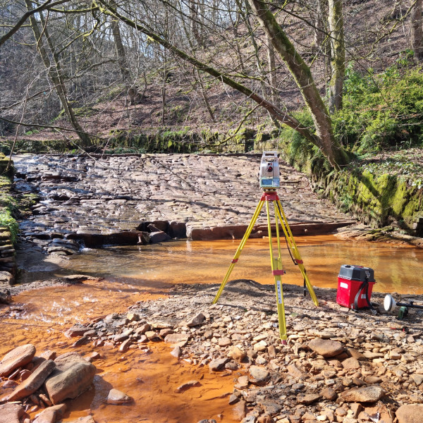
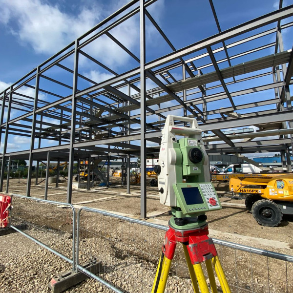
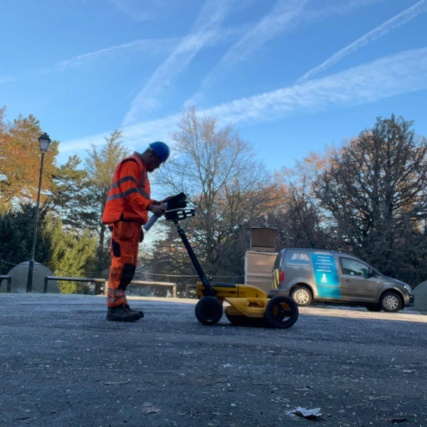
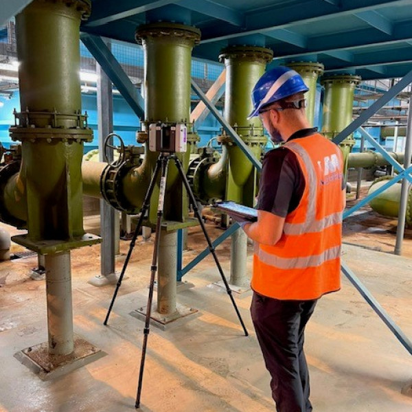
top of page

our services

Engineering

MIG can provide Site Engineers on construction projects throughout the UK for small tasks to large projects, short or long term.


Every setting out Engineer is fully equipped with the latest total station and GPS equipment if needed along with Laptop, AutoCAD and LSS survey software.


MIG have vast experiences in numerous Civil Engineering Sectors and possess extensive skill and knowledge enabling our Engineers to be open to new challenges.


Listed below are some of the services we provide: 

  • Volumetric analysis for example in bulk earthwork operations giving accurate Cut/Fill reports and calculations from stockpile surveys.


  • Site Engineering tasks such as setting out Formations, Drainage, pilelocations, Concrete walls and foundations, Block/Brick work,Boltsets and Structural steel position and levels.


  •  Structural and Movement monitoring during construction activities .


  •  As-built Surveys and Reports of completed projects.


  • Establishing new Control Networks on local or national grid.

Aerial Photography

Perfect for land owners, farmers, construction sites, landfill sites and quarries
needing overhead pictures and videos.


Get low cost up to date aerial surveys of building or construction works, showing your projects progression.


Plan View or photos at an angle of planning purposes and site boundaries in rough terrain.

Topographical Surveys

MIG are able to survey any type of land and terrain, from a single plot to a large proposed development site.


We create a unique specification to suits your needs. Either it be for land, drainage or a building survey.


We are equipped with the latest GPS and Robotic Total Station equipment to enable us to deliver to the highest standard that you, our client requires.

bottom of page